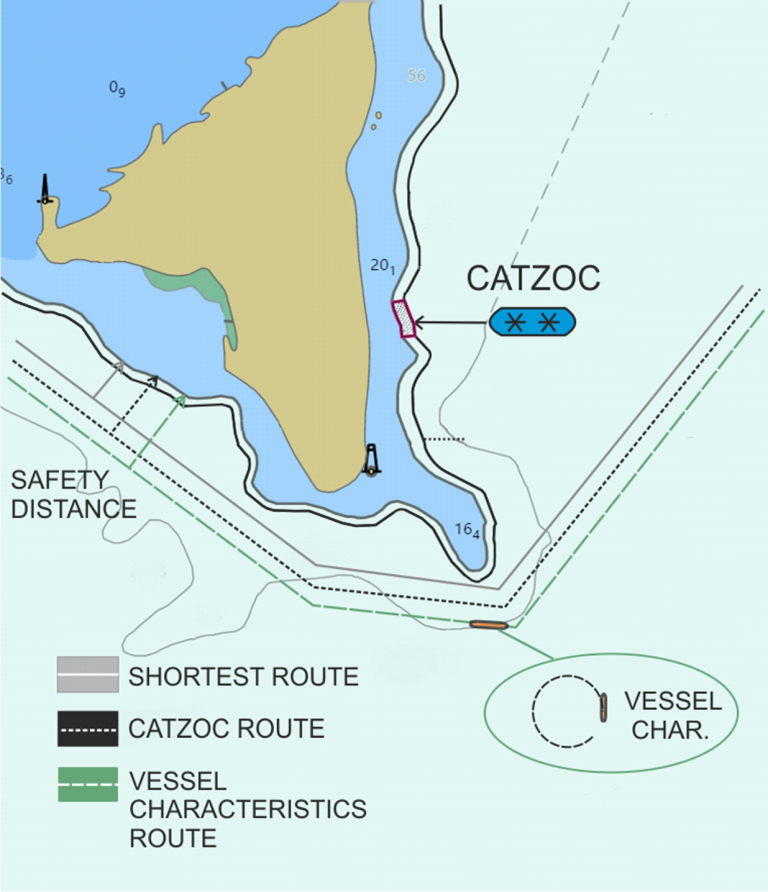
Creating an efficient and safe voyage plan is a complex and challenging task. Compliance with safe mandatory voyage planning procedures must be considered alongside shortest distance, sailing time and efficiency. Mentioned factors reflect on decisions in voyage appraisal, planning, execution and monitoring. Decisions in all voyage stages are further influenced by navigational knowledge and experience of those involved in the actual planning. Subjective interpretation, quality of used sources and uncertainties can result in different voyage plan outcomes. Research in weather routing and quality and assessment of hydrographic data have enabled multi-criteria and multi-objective voyage planning approaches. Usage of Electronic Chart Display and Information System (ECDIS) voyage planning features and advanced third-party solutions (including improved GNSS solutions) have improved the voyage planning process on-board. For a safe voyage planning, determination of safety distances to non-navigable areas or dangers is essential. Furthermore, uncertainty must be assessed for all elements of voyage planning. Moreover, the route has to be adaptable to forecasted or present environmental conditions. The aim of this paper is to present the concept of safety distance determination as a function of the adaptive planning process in coastal navigation. The concept integrates all relevant parameters influencing the decisions of the navigational planning task in an adaptive way, with the final output subject to pre-defined limit values. Ship particulars, hydrographic data accuracy and reliability, hydrographical and meteorological conditions, etc. set the basis for the safety distance determination. The concept is further enhanced with information on current and forecasted environmental conditions prevailing in the area of interest
